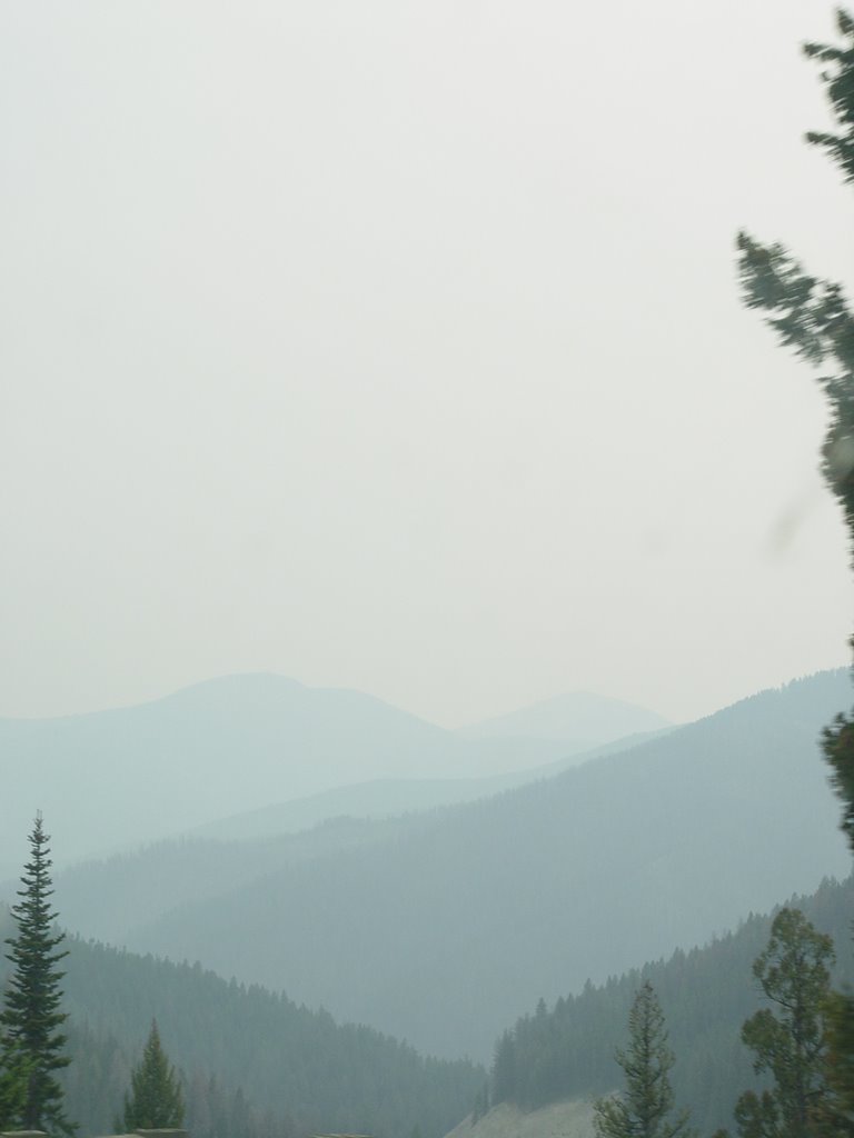
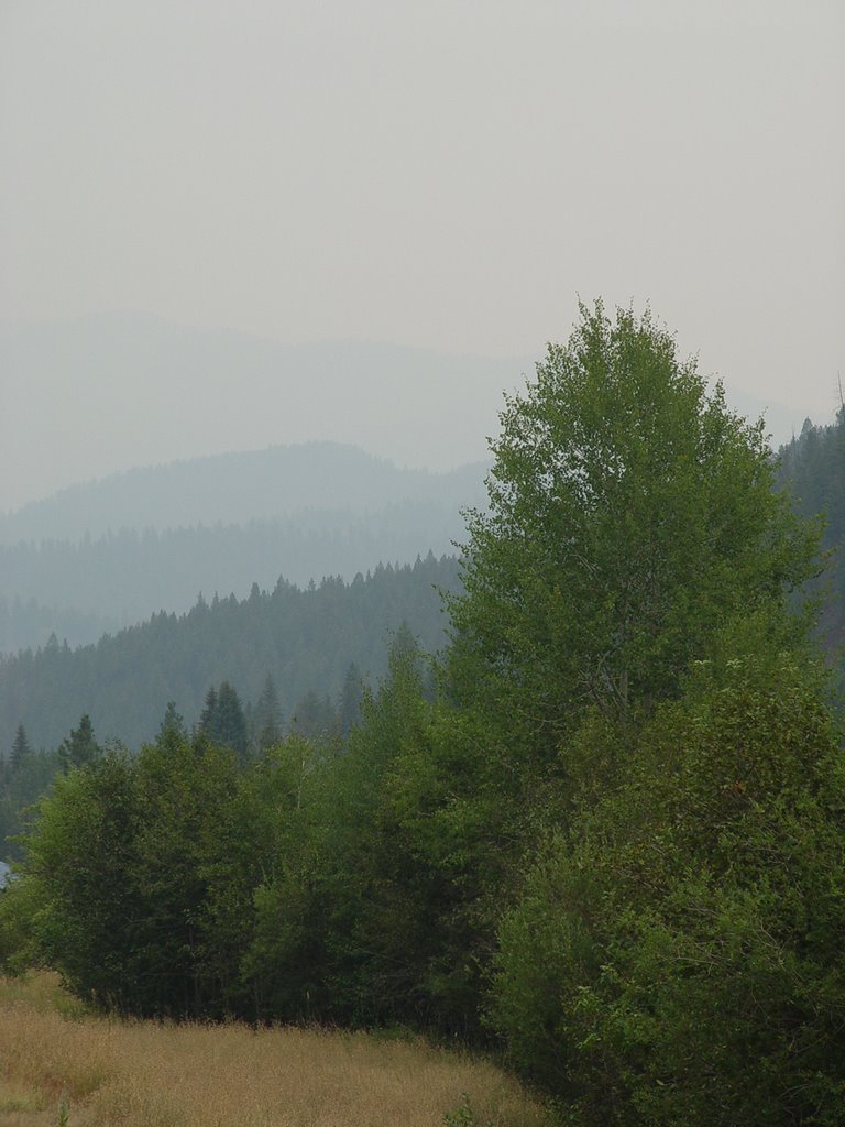
The Bitterroot Mountains
The Bitterroot Range (a subrange of the Rocky Mountains) runs along the border of Montana and Idaho in the northwestern United States. To the north is Lolo Creek, and to the south is the Salmon River, a span of over 100 miles (160 km). To the east is the Bitterroot Valley and the Bitterroot River, and to the west are the Selway and Lochsa rivers. Its highest summit is Trapper Peak, at 10,157 feet (3096 m).
The range is named after the bitterroot, a small pink flower that is the state flower of Montana.
In 1805, the Corps of Discovery, led by Meriwether Lewis and William Clark, crossed the Bitterroot Range, first entering the Bitterroot Valley from the south via Lost Trail Pass, and then exiting to the west via Lolo Pass. - (Wikipedia)
posted by Derek Linder at 7:27 AM
![]()
![]()


2 Comments:
gorgeous! miss it like crazy. . .
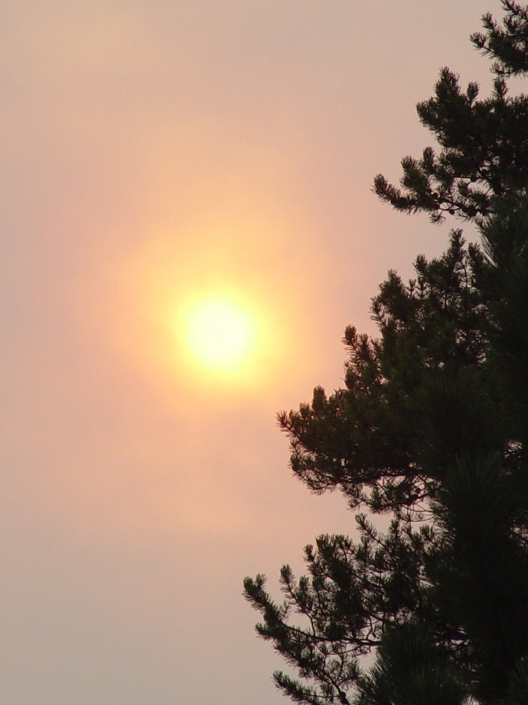
It was really beautiful. There was a lot of smoke from some recent forest fires, so everything was a little hazy, as you can see in the pictures.
Post a Comment
<< Home